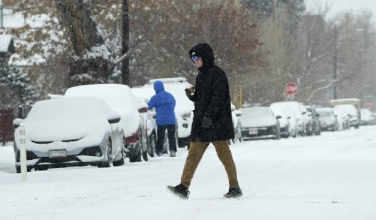
Waco, TX – Central Texas is bracing for another winter storm, which is expected to bring the region its best chance of accumulating snow since February 2021. The storm will move through the area Monday night into Tuesday morning, bringing a mix of wintry weather, including snow, cold temperatures, and icy conditions. As a result, First Alert Weather Days have been issued for Monday, Tuesday, and Wednesday mornings.
While Central Texas is no stranger to winter weather, this storm is noteworthy for its potential snow accumulation. Forecasts indicate that many areas could see some level of snow accumulation, with totals ranging from a light dusting to up to 3 inches. The Brazos Valley, particularly Milam, Robertson, and Leon Counties, is expected to receive the highest snow totals.
Unlike previous winter storms this season, which brought rain and ice, this storm will feature colder temperatures that are more conducive to snow. As a result, snowflakes are expected to fall more steadily overnight. However, the snow is expected to be dry rather than wet, which means it will be less likely to cause major disruptions on roadways. Although this drier snow won’t be ideal for building snowmen or snowballs, it poses less of a threat to travel compared to wet, slushy snow.
The first signs of snow may appear as early as 5 PM on Monday, with light flurries possibly starting to fall. However, steadier snow showers are not expected to begin until around 9 PM, when snow will become more consistent across the region. While the snow will generally be light, some areas—especially east of I-35—could experience heavier bursts of snow throughout the evening and into the overnight hours.
By Tuesday morning, the snow is expected to have largely tapered off, though some light snow may persist in certain areas. The storm is expected to clear by early Tuesday, but colder-than-usual temperatures will remain through the week.
Because the snow will be light and dry, it is unlikely to create the hazardous travel conditions that wetter snow might cause. However, the storm’s timing could still impact morning commutes on Tuesday, particularly for areas that receive higher snow totals. Travelers should be prepared for slick spots, especially on bridges, overpasses, and untreated roads.
Although this winter storm won’t be as severe as the historic February 2021 storm, it marks the best chance for significant snow in Central Texas since then. Residents are advised to monitor weather forecasts and prepare for winter conditions, especially on the roads.


